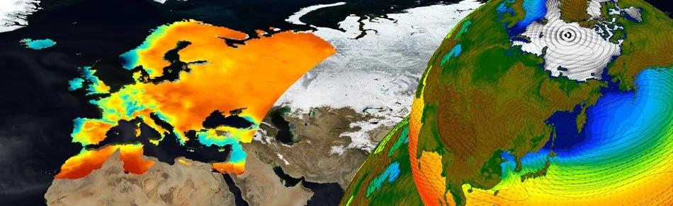
Climate
Weather
In this website you can find weather regioinal forecasting for Portugal (mainland), Azores and Madeira Islands.
CeaseFire
Web platform to access various services regarding weather variables, fires and controlled fire for Continental Portugal. The CeaseFire platform provides tools developed by the Climate change, atmosphere-land-ocean processes and extremes group, accessible to end users (internal and external).
The following activities are available:
Meteorological and Forestry Maps and Data;
Interactive maps of Indices and Fire Hazard
Interactive maps of Prescribed Fire
Information & Download of Daily Data
All the products are available to Mainland Portugal for five (5) days before the day of preview, the preview day and the two (2) days ahead.
Annaes IDL (SIGN)
Digitalization of the meteorological data (1856 – 1917) contained in the annales of IDL . The data is available to a large potential community of users and can be used to study the changes that have taken place in the historical records during the past years. SIGN >>
European Reanalysis of Global Climate Observations 2 – ERACLIM2
ERA-CLIM2 (2014-2017) FP7 607029, ECMWF coordination, is building a new 20th century global reanalysis. IDL is recovering its meteorological archive from 1854, including the Lisbon IDL station and others in Mainland Portugal, Madeira, Azores and former colonies. Datasets are being digitised, formatted and quality controlled. IDL also supplies digitised data for Chile (surface, maritime – 1950-1958), and early Spanish upper air data (1912-1916). A Metadata Global Registry is in development, aiming to include sources of historical data that can be used in future historical reanalyses.
Global in-situ data rescue activities being conducted in ERA-CLIM2
ERA-CLIM2’s Metadata Global Registry – a website maintained by IDL with inventories of historical surface, upper air and maritime data being recovered in ERA-CLIM2 and other ACRE (Atmospheric Circulation Reconstructions over the Earth) related initiatives. It allows crossed searches by station name, country, periods and location visualization on Googlemaps. In development.
The COST Action VALUE provides a European network to validate and develop downscaling methods and improve the collaboration between the dispersed research communities and with stakeholders. The Action systematically compares the different downscaling approaches and assess the aspects listed above. VALUE delivers an assessment of end-user needs, a benchmark data set and pseudo reality for the validation, a set of validation measures, the validation of state-of-the-art methods and guidelines for stakeholders.